
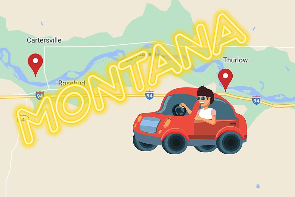
This 10 Mile Stretch Of Highway Might Be Montana’s Most Historical
There is history all over Montana. Each city and town that dots the highways of our Treasure State has something to crow about. This 10-mile stretch of Montana highway however might just be one of the most historical stretches of highway in our state.

In these 10 miles you'll find eight historical markers. Historical markers are a way for each state to commemorate and preserve their history. It's also a great way for travelers to learn a bit about the places they are traveling through.
So lets look at what can you find along Interstate 94 between Miles City and Billings.
The Miles City Air Force Station
Our first marker along Interstate 94 is the Miles City Air Force Station marker. It tells about the tensions during the Cold War and how Montana became home to 8 different Radar Stations. One of those was in Miles City, however it closed down in 1968. We now have to hop in our car and head just under 2 miles east.
Cattle Brands
This image is actually how I found out about all these historical markers. I was researching famous cattle brands and came across this. It's one four of markers you'll find at this rest area.
Join the Voyage of Discovery
We find our next marker just across from the first. This marker describes how almost everywhere you go you are walking in the footsteps of Lewis & Clark. It speaks to the culture of the Native Americans and the shifts that took place as Europeans headed west.
Rosebud
Sadly I couldn't get a nice forward facing shot for this marker, but it describes how William Clark passed along this area as he traveled the Yellowstone on the Corps of Discovery's return trip. It describes how buffalo hunters took 40,000 robes from the area which lead to the Battle Of Rosebud on June 17, 1876.
The Hell Creek Formation
We now have our fifth marker and we haven't even had to get back in our car. This marker describes how our landscape came about, and how dinosaurs once ruled our state. Many dinosaur fossils can be found here in the Hell Creek Formation. Now, let's get back in our car and keep heading east.
Scouting South of the Yellowstone
This lonely little marker along the side of the frontage road just off I-94 describes how Lieutenant James H. Bradley tracked a Lakota Tribe that had run off with around 30 of their horses. An attack by General John Gibbon was called off after several horses drowned while trying to cross the Yellowstone.
Time to get back in our car for a quick 1 mile drive which brings us to,
The Seventh Passes in Review
On June 22, 1876 Custer began his ill-fated march to Little Big Horn. A parade was thrown in celebration of the Seventh Cavalry under his command. Three days later and just 4 miles to the north, all five companies of Custer's column were wiped out to the last man.
Just one stop left and it's only 1.5 miles away.
Rosebud Creek
Unfortunately Google maps doesn't head back near the creek where General John Gibbon and Lieutenant Colonel George Armstrong Custer met to plan their attack on the Lakota, Northern Cheyenne, and Arapaho people. A meeting that would end in disaster for Custer as thousands of indigenous warriors annihilated the 210 men under his command.
I hope you enjoyed this virtual historical drive along Montana. Next time you're on I-94 between Billings and Miles City, why not stop by and see them for yourself.
Check It Out: 25 Pictures of Montana's Most Beautiful Highway
Look! Find Montana's Must Drive Road
More From 94.5 Max Country


